Part 1 of 5 · freeIntroduction
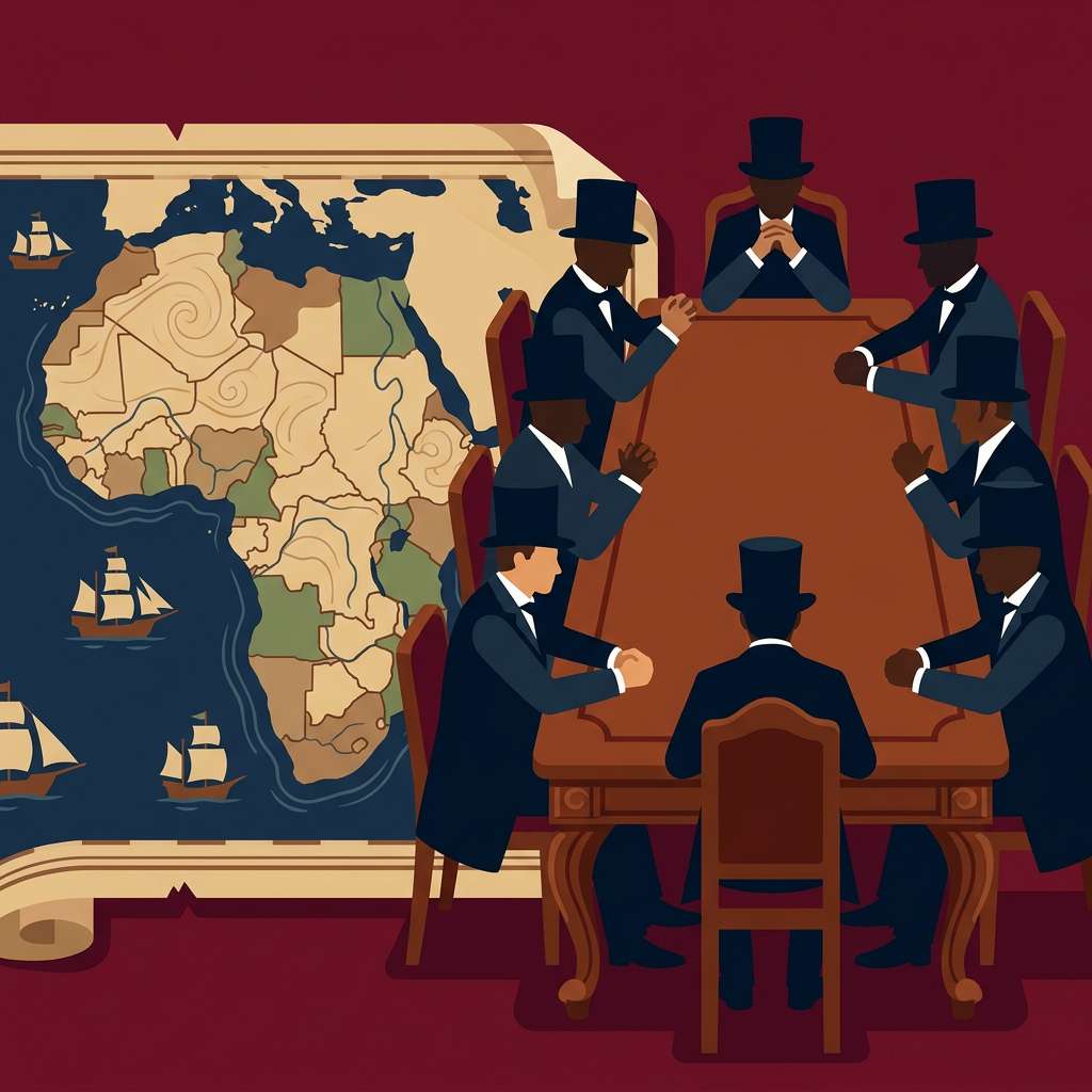
On a map of Africa, many borders run in straight lines, as if drawn with a ruler. It is tempting to imagine a single hand behind the design. Yet no one person and no one meeting carved up the whole continent. Most of today's borders date from the rapid spread of European colonial power in the 19th century.
The best-known starting point is the Berlin Conference of 1884-1885. There, the European powers set the rules for acquiring colonies and protecting their interests. But the conference did not decide all of today's borders. Most came later, through treaties, exchanges of territory and wars. How could states so far from Africa believe they had rights over these lands?
The rest is in the Sophia app.The remaining parts, the open-book quiz and the full glossary. Free to start; Premium unlocks everything.
- 2Claiming is not governing
- 3Borders born of local conflicts
- 4The new states inherit the maps
- 5Borders with many authors
Open-book quiz8 questions whose answers are in the text.
Glossary6 terms explained in a tap.
30 languagesThe same course, from French to Japanese.